
Aerial Mapping and Modeling with DroneDeploy Workshop
Elevate your career in aerial mapping and modeling. Develop the skills you need to effectively gather, analyze and export mapping data.
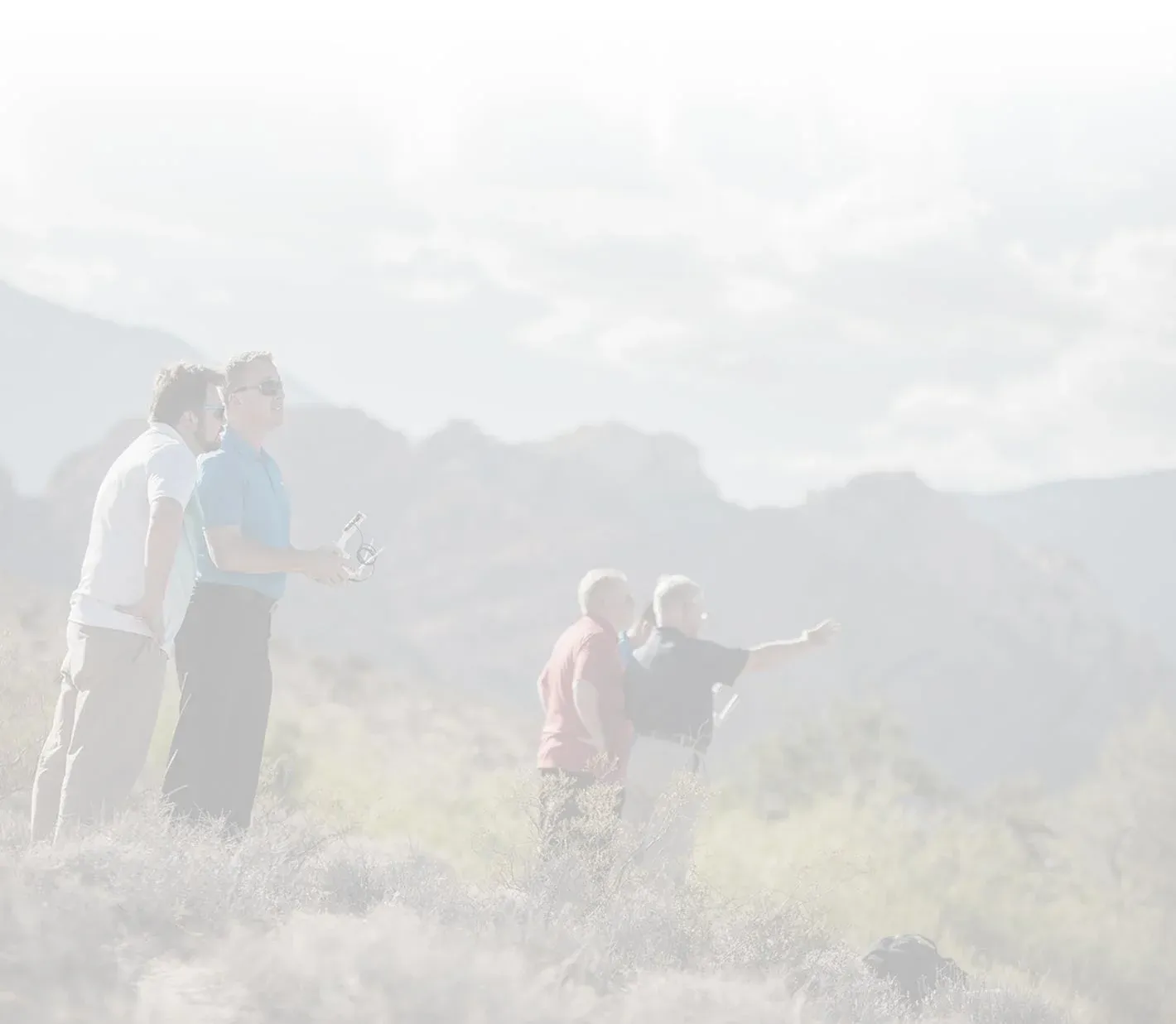
Trusted by Top Organizations Across the Nation


Two Day Workshop Schedule
Prerequisites
5+ Hours of Flight Time
Not flying drones yet? Check out our Drone Pilot Training Courses
Part 107 Certificate
Not FAA Certified to Fly Commercially yet? Check out our Part 107 Test Prep In-Person, Virtual, or Online Course
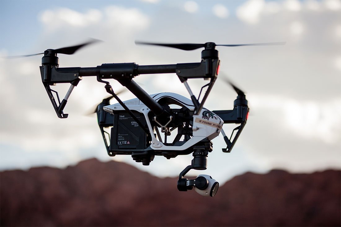
Data Collection
- Lesson 1: Intro to Mapping & Modeling
- Lesson 2: Aerial Photogrammetry
- Lesson 3: Getting Started with DroneDeploy
-
Flight Session 1:Collecting 2D Map Data
- Lesson 4: 3D Modeling
- Lesson 5: Using the Map Engine
-
Flight Session 2:Collecting 3D Modeling Data
Data Analysis and Accuracy
- Lesson 6: Analyzing Your Data
- Lesson 7: Map Accuracy
- Lesson 8: Ground Control Points
-
Flight Session 3:Using Ground Control Points
- Lesson 9: Exporting Your Data
- Lesson 10: The DroneDeploy App Market
Improve Efficiency. Increase Safety. Reduce Costs.
Construction, engineering, and agriculture are just a few of the industries that have begun to use drones to collect mapping and modeling data. High-quality maps can be produced more quickly and cheaply than with traditional methods, and the demand for drone mapping services is growing rapidly. This workshop is designed to teach students how to use the latest drone mapping technology to collect, analyze and export high-quality mapping and modeling data for commercial use.
Workshop Overview
- Types of Mapping Data
- Types of Mapping Products
- Platform and Payload Considerations
- Mapping for Construction
- Mapping for Agricultural Uses
- Mapping for Engineering and Architecture
- Principles of Photogrammetry
- Photogrammetric Geometry
- Aerial Triangulation
- Photogrammetric Procedures
- Common Coverage Errors
- Georeferencing
- Spatial Reference Systems
- DroneDeploy Account Levels
- Autonomous Flight Planning
- Waypoints
- Collecting Nadir Imagery for 2D Mapping
- Collecting Oblique Imagery for 3D Modeling
- Orbit at End of Mission
- DJI Point of Interest
- Manual Collection
- Map Engine Processing Options
- Map Engine Data Requirements
- Uploading Datasets
- Accessing the Final Product
- Common Issues in Low Quality Maps
- Layers of a DroneDeploy Map
- Analyzing Evaluation Data
- Performing Volumetric Calculations
- Cut, Fill, and Volumetric Measurement Calculation
- Lowest Point and Best Fit Base Planes
- Adjusting Histogram to Change Elevation Values
- Relative vs. Absolute Accuracy
- Project Accuracy Requirements
- Survey-Grade Accuracy
- DroneDeploy Accuracy Levels
- Factors that Improve Map Accuracy
- Techniques to Improve Map Accuracy
- Creating GCPs
- Placing GCPs
- Utilizing the GCP Checklist
- Submitting GCPs in DroneDeploy
- Export Options in DroneDeploy
- Static Layer Export Procedures
- Custom Layer Export Procedures
- Sharing Your Map
- App Market for Enhanced DroneDeploy Capabilities
- Linear Mapping App
- Overlap Optimizer App
- PDF Annotation Report
- EZRoof App
- Quick Map Overlays App
- Tensor Flight App
- GCP Volume Analysis
- KML & SHP Import
- Thimble App
- AirData UAV Sync App
Upcoming
Aug 9 - Aug 10
Seattle, WA
Sep 20 - Sep 21
Miami/Ft Lauderdale, FL
Looking for a course near you? Reach out and let us know where our next course should be held.
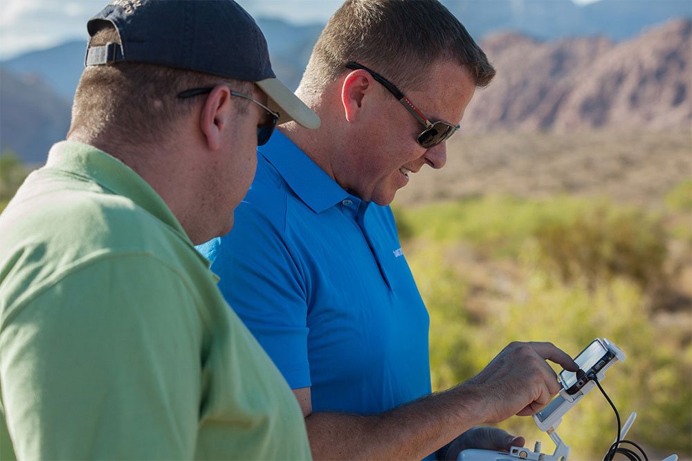
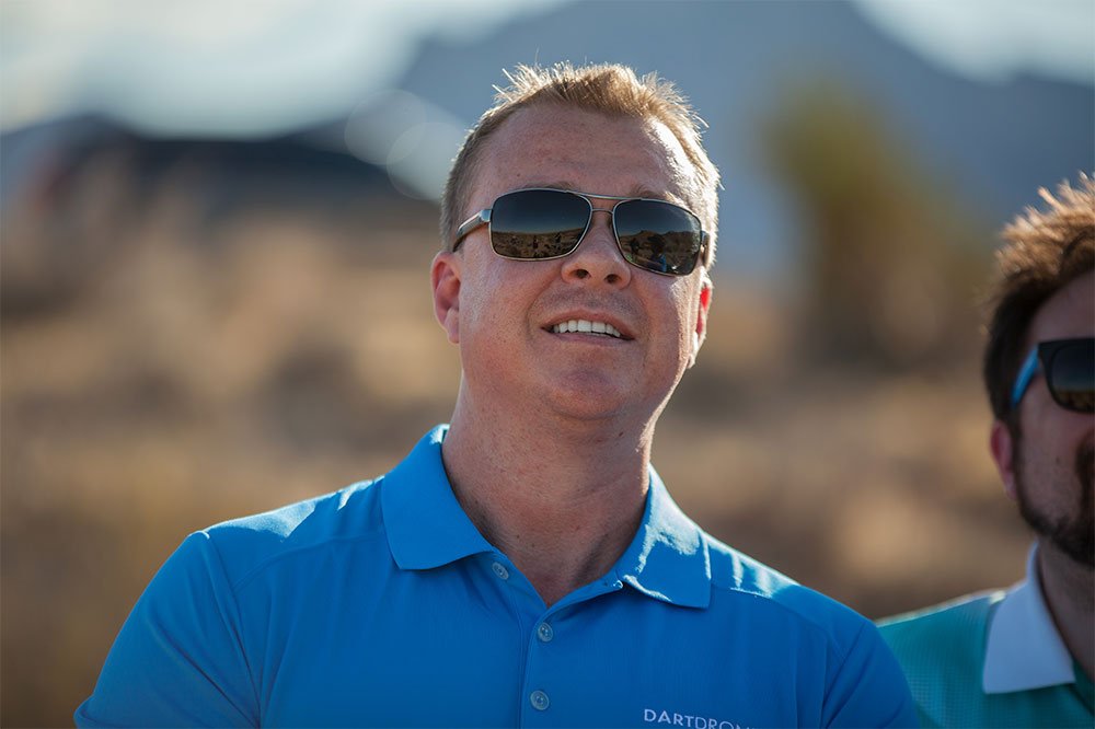
Our Aerial Mapping Workshop Flight Instructors
Our instructors use their real-world industry experience to help you succeed in mapping and modeling.

Alex Abatie
Alex brings over 20 years of experience as a photographer and design director to the commercial drone industry. He owns and operates Hawkeye Workshop, an aerial photography company serving the film, real estate, and construction industries in Southern California. He also holds Sport Pilot and Remote Pilot certificates from the FAA.

Louis Morales
Louis is a US Army Veteran with over 16 years of experience spanning aviation, sUAS operations, sales, and customer service. He is an FAA Part 61 commercial pilot, Part 107 Remote Pilot, and a FLIR certified Level II Thermographer. He holds a B.S. in Aeronautics from Embry Riddle Aeronautical University and is a current Unmanned Systems graduate student, bringing both breadth and depth of knowledge of the National Airspace System, aviation regulation, and sUAS applications to his classroom.
Aerial Mapping and Modeling Workshop FAQs
The Aerial Mapping and Modeling Workshop is an advanced training course. To attend the Workshop, we require students to understand how to safely operate a drone. Students attending Aerial Mapping and Modeling workshop should be Part 107 certified. The class does not teach about how to fly a drone. If you have not flown before and have not passed the Part 107 exam, we recommend that you take our Drone Pilot Training course and/or Part 107 Test Prep course at least 4 weeks prior to attending the Workshop.
This workshop is ideal for any individual interested in obtaining a drone job in aerial mapping. The Aerial Mapping and Modeling workshop is a two day workshop filled with integral information needed to successfully execute aerial mapping missions.
We will announce additional workshop dates throughout the year. Our Workshops are available to be taught as a private group training for an enterprise or government entity. Contact our sales team to learn more.
Our Aerial Mapping and Modeling workshop is perfect for individuals new to mapping yet as well as those with mapping experience looking to specialize in aerial mapping.
You will be provided a drone to fly in the class. For insurance and liability purposes, students MUST use the provided equipment or provide proof of liability insurance with DARTdrones LLC named as an additional insured prior to the course.
Our Aerial Mapping and Modeling Workshops have between 6 – 30 people in each course. For every 12 students, an additional instructor will be added to ensure ample flight time.
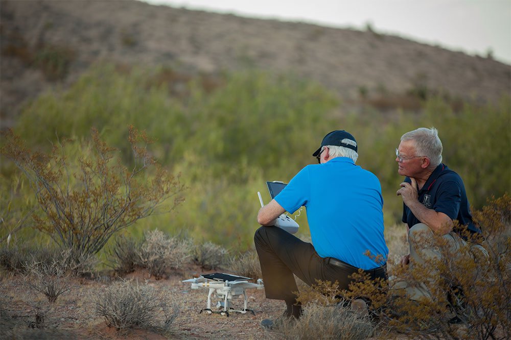
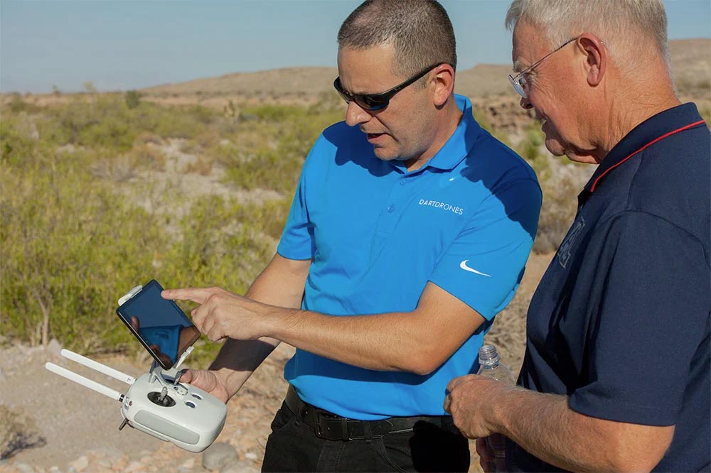
Although the course will not primarily focus on flight time (as students should have a comprehensive understanding of how to fly prior to the course), the instructors will take students outdoors on four occasions to conduct a real time Aerial Mapping and Modeling mission.
Join our community of drone experts!
Subscribe to our newsletter to stay up to date with drone industry trends, events, and expert advice.