Drones Help Scientists Study Coastal Erosion
Scientists rely on the advancement of different technologies in their respective fields to help push along studies and make new discoveries daily – and drones are not an exception; drones help scientists monitor coastal erosions. Monitoring coastal and beach erosion is incredibly important to understanding the evolution of coasts and the rates of erosion. Scientists use drones to learn more about coastal erosion and to collect data more efficiently than ever before.
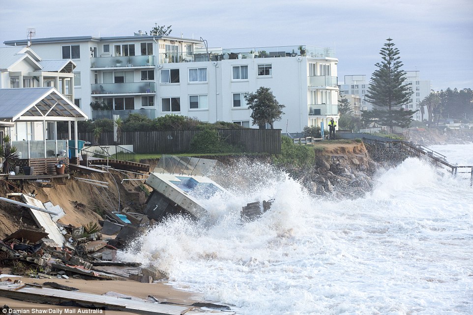
Drones will be able to provide a cost effective way to monitor the changes of the coast and also study the impact of different kinds of storm systems on the coasts. Recently, a devastating storm bombarded the New South Wales east coast. Scientists and first responders were able to access these incredibly hard hit areas first by scouting out these zones with drones. To their devastation, they witnessed a heartbreaking scene of mass destruction. The coastal properties were completely destroyed with parts of homes falling into the unrelenting surf. Sydney’s Collaroy Beach, one of the harder hit areas, lost up to 50 meters of sand.
To scout out the scene first, scientists sent drones to find out if any people needed help. They also took pictures of the damage. Drones are allowing scientists to quickly and easily capture these pictures and study them to note the significant changes to the coastlines. Without drones, it would be more tedious and expensive to rent a helicopter to capture these same exact pictures.
To learn more about the storms and see the footage caught by drones, read here.
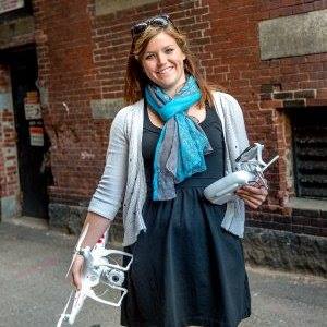
Abby Speicher, founder of DARTdrones, wrote this post about how drones help scientists.


