Implementing a Drone Program For Your Police Department
 By Jim O’Keefe
 From search and rescue to accident investigation and crowd control to crisis management, drones are changing the way law enforcement tackle missions, particularly those missions where every second counts. Public safety officials across the country are realizing the vast benefits of drone units in their industry and new programs are being implemented at a rapid rate. Launching a new UAV program poses many considerations and challenges. If you think a UAV unit might be right for your department, this guide will walk you through the steps to building a drone program that fits your needs.
Establish a Program Foundation
The first step to developing a comprehensive drone program that fits the unique mission and goals of the department is to establish a foundation. The objective of this stage is not to set limits in determining what the UAV unit will become, but to understand the realistic possibilities of how your department and community will benefit from a firmly established drone program.
Determine your Department's Needs
Detailed planning at this stage will reduce future complications when deciding which equipment to purchase, pitching the program to your superiors or local government, gaining public support, and other required aspects for a successful implementation. Consider the following factors when establishing the requirements of your department:
-
Mission Specific OperationsFirst, we recommend establishing the different types of missions for which your department is frequently responsible. Then determine which missions the drone will be used. Clarifying these specific operations will help determine which small Unmanned Aircraft System (sUAS) is best to purchase. Many police departments use UAS’s for search and rescue, crowd control, surveillance, aerial command, criminal pursuit, and rapid response missions. There are many operations that drones can aid, but determining which ones are important to your department will help expedite the process.
-
Size of Your DepartmentNext, consider the size of your department and how this will impact your UAV unit. Large departments may cover a vast geographic area, serve a wide population, and employ hundreds of officers. Small departments may operate in rural areas, cover a small location, or employ fewer officers. Some teams will deploy their UAS daily while others may only need it once or twice each week. For departments with a wide array of use cases, there will be a need for specialized equipment that could be subjected to different legislation than smaller departments would experience. This can affect how you establish and implement your unit.
-
Budget, Pilots, and MoreIn later sections, we will discuss developing a budget, choosing and training pilots, regulations and legislations, and creating a policy. However, it is crucial to start thinking about these factors in the initial stages. Layout financial factors that you know are required for a UAS program such as the drone, accessories, software, training, and insurance. It
is also helpful to consider which officers will be going through UAS training to become unmanned pilots for the department.
Want to Fly Drones at Night?
Preview of our Night Operations course to see what it takes.
Helpful Tips
Using Past Records
Use the department’s crime analyst or records specialist as a resource. The information they track and record can provide useful data regarding the most common types of service calls to which your department responds. Ask questions about when specific incidents occurred, where they took place, what resources were used, and what resources would have been advantageous if available. This information can assist with tailoring the drone program to meet your department’s needs and best serve your community.
Communicate with Other Divisions
Communicating with other divisions and specialty units will determine how they could use the UAV in their operations. This will generate new possibilities and assist other units in operating more effectively within the community. For example, a detective division could benefit from an aircraft with extended flight time capabilities and a high-quality camera for surveillance work. A SWAT team may use a micro UAV for monitoring a house during a barricaded suspect call. An aircraft with forward-looking infrared (FLIR) capability for night operations may best benefit patrol units. Creating an abundance of beneficial use cases during this stage will increase the chance of gaining approval for the drone program and help expedite the process.
Communicate with Other Divisions
Determine if anyone in your department has aviation experience. A UAV unit will operate comparably to a manned aviation unit. Discovering that someone in the department has preexisting knowledge of airspace, weather considerations, and Federal Aviation Administration (FAA) regulations can greatly advance the pilot selection process.
Work with Your Network
Networking with other agencies that have
an established drone unit can also be an effective strategy. If experience within the department is limited or nonexistent, contact departments that are developing their own UAV units for assistance. Other agencies may be able to provide you with helpful tips and answers to difficult questions. Even if you have a large amount of experience available, communicating with agencies in your network is a worthwhile exercise.
Regulations: Choose Between Part 107 or a COA
Part 107
In June 2016, the FAA launched a new set of regulations known as Part 107. This set of Federal Aviation Regulations (FARs) was the FAA’s first official rules governing the commercial use
of sUAS. In addition to outlining the operational limitations of sUAS, Part 107 also provided requirements for the issuance of a Remote Pilot Certificate with an sUAS rating for commercial drone pilots.
Part 107 is also intended to be the first step towards full integration of drone use into the National Airspace System (NAS). The complete set of regulations has been published in the Federal Aviation Regulations Aeronautical Information Manual (FAR AIM), but here are some of the aspects you ought to be aware of:
- Categorized as “Civil Aircraft Operations” (not public safety)
- Liability/responsibility falls on individual pilots
- Allows for daytime flight ONLY without a special waiver
- Must get permission to fly in B, C, D, and E airspace for each flight – a significant issue for most major metro areas
- Allows for operation under 400’ AGL (Above Ground Level)
- Allows for operation within visual line of sight for the operator
Some police departments operating their drone program under Part 107 find that many of the regulations restrict them from performing certain tasks; however, many sections of Part 107 allow for waivers if the operator is able to provide a safety plan to minimize risk. Currently, operators are requesting Part 107 waivers and authorizations for:
- Flying at night
- Flying over people
- Flying beyond the visual line of sight
- Flying multiple UAVs at the same time
- Flying at altitudes over 400’ Above Ground Level (AGL)
- Flying in regions of controlled airspace
The most prominent benefit to having pilots operating under Part 107 is guaranteed proof of training in regulatory aspects. UAS operators will have a full understanding of the FAA’s rules and regulations regarding drone use if they are able to pass the Part 107 exam.
COA
The Certificate of Waiver or Authorization for Public Aircraft Operations (COA) offers flexibility to police and other public safety departments. This certificate is a beneficial option for qualifying governmental and nonprofit organizations, including:
- Local Municipalities
- Fire Departments
- Police Departments
- Public Schools
Although utilizing a COA provides greater flexibility, the process for obtaining a COA is lengthier and more difficult than obtaining a Part 107 Remote Pilot Certificate. However, if your department would be required to request one or more of the waivers listed in the previous section to fulfill your operations effectively, a COA may prove more beneficial. After the FAA and the applicable Air Traffic Control facilities authorize a COA, the government entity can benefit from the following:
- Operators can routinely fly within applicable regions of controlled airspace.
- Operators can fly under the special provisions named in their COA.
- Upon your COA authorization, the night waiver portion is automatically added to the COA without requiring additional documentation.
- In the event of a life safety incident, the UAV may be flown over people as long as all safety measures have been implemented.
COAs require proof of training on regulations for all pilots operating within the organization. While departments can develop their own training method, the FAA recommends that all operators hold a Remote Pilot Certificate. This provides proof of training and reduces agency liability as their training will not be as intensely scrutinized in the event of an incident.
Recommendations Based on Department
When deciding if Part 107 or a COA is appropriate for your department, consider the size of your agency, the nature of your jurisdiction including airspace, and your department’s mission requirements.
Personnel
Determine how many people in the agency are going to be trained. With a greater number of trained personnel needed, a COA with self-examining authority may be a better fit. After speaking with several FAA officials, even with a COA in place with self-examining authority, it is still recommended that all pilots earn at minimum a remote pilot certificate to establish proof of training.
Jurisdiction
The larger the jurisdiction, the greater area that the agency may continue operations. Smaller agencies that have limited or no controlled airspace are still able to operate solely under Part 107. With a night waiver, the COA will not be much of a benefit.
Local airspace
The lower classes of airspace, C and D, can be easier to secure a Part 107 airspace authorization. If the agency is able to acquire the Part 107 airspace authorizations, the COA will not be as beneficial. An agency operating in a more urban environment dealing with large Class B airspace or multiple airspaces would be better suited to a COA.
Mission requirements
With a great variety of missions for which your agency is going to use the UAS, a COA may become the better option, such as needing to operate in locations where an airspace authorization may be difficult or impossible to obtain during the incident. If you are only going to use the drone for traffic accidents along the highway and there is limited or no controlled airspace in the area, Part 107 is a better option.
Both Part 107 and a COA have advantages and disadvantages. Every drone program is unique – what works for your department might not work for another. Your department must either follow the COA as written and approved or have officers operate solely under Part 107 regulations and apply for waivers as needed. You should consider the advantages and disadvantages of both and how each will affect the overall goal of your program. Once that information has been established it will dictate which route you should choose. The following section highlights some recommendations regarding your department’s size, jurisdiction, and mission requirements.
Agency: Small agency with less than 50 sworn officers, no aviation unit
Jurisdiction: Suburban; Class D or class C airport in part of jurisdiction
Mission requirements: General UAS use for SAR, investigations, traffic accidents
Recommendation: Part 107 with airspace authorization for local airspace, add-on waiver for night operations
Agency: Small agency with less than 50 sworn officers, no aviation unit
Jurisdiction: Rural/suburban; no controlled airspace in local areas
Mission requirements: General UAS use for SAR, investigations, traffic accidents
Recommendation: Part 107 and add-on waiver for night operations
Agency: Large agency with 100+ sworn officers, helicopter unit
Jurisdiction: County-wide jurisdiction; multiple airports with various classes of airspace
Mission requirements: General UAS use for SAR, investigations, traffic accidents, search warrants, SWAT
Recommendation: Begin with part 107 for training and simultaneously begin application for COA. Multiple airports with different airspaces will be more easily navigated with an established COA
Local and State Legislation
The next stage in implementing a drone program is to establish your requirements under the FAA’s jurisdiction. The FAA maintains exclusive jurisdiction over the National Airspace System. This limits local and state legislators from enacting laws to govern airspace use, training requirements, and aircraft maintenance requirements. However, laws traditionally related to state and local police power, such as land use, zoning, privacy, trespassing, and law enforcement operations, can be legislated at the state and local levels and affect the use of your UAV.
An agency wishing to use a UAV for law enforcement purposes must conform to local or state legislation that has been enacted. This usually involves topics of privacy and surveillance. If there are specific questions pertaining to your department’s area of operation, contact your state’s Attorney’s Office. They can provide consultation on the best operation options for your department. The development and enactment of this legislation change as rapidly as the technology evolves, so it is paramount to stay abreast of current laws and regulations that are already enacted, as well as those under development.
Program Budget Considerations
Your budget should be constructed to include all financial factors required for the UAV unit to efficiently function. The budget should include the selected aircraft, estimated maintenance costs, pilot training, insurance, and all required or additional accessories. Purchasing a $3,000 drone and failing to include the cost of extra batteries will decrease the effectiveness of your UAV program. You should plan to have a reasonable expenditure cushion so the budget can cover unexpected purchases or replacement items. Do not create a short-sighted budget to increase the chance of approval.
If an individual in your department has experience writing grants,
it is very worthwhile to inform them about the program. Many agencies have been able to partially or fully fund their UAV program under a government grant. The time spent researching and writing a grant can be extremely valuable. Obtaining grants is becoming increasingly competitive as more agencies develop UAV programs.
This next section will outline a number of components to factor into your budget including the aircraft, payloads, software, insurance, training, and other accessories.
Aircraft Selection
The planning that you have completed up to this point will simplify the drone purchasing process. There are multiple manufacturers that create different drones for various purposes, but if you are armed with in-depth knowledge regarding drone usage, you will be able to limit the options. DJI is the current leader in commercial drone manufacturing and is the preferred platform for many companies and organizations. This section will highlight some of the most popular DJI platforms.
Considerations
Flight time: The success or failure of an operation is determined in seconds. Valuable surveillance or search time can be lost when the drone is being regularly grounded to change or charge the battery. Since it is impossible to predict the duration of a public safety incident, a drone with superior flight time per battery is preferred.
Sensor system: In order for a law enforcement UAV to be truly valuable, it must be night- operations capable. Incidents can arise at any time and your equipment must be able to perform accordingly. A drone equipped with a thermal or FLIR camera system can be a valuable asset for your department.
Wind/Weather capability: Encountering inclement weather during a response is inevitable. Larger UAS platforms offer increased capabilities to maintain a steady hover in windy conditions. However, there are only a few weatherproof/water resistant options available.
Ease of deployment: The UAS must be readily deployed from a patrol vehicle. Folding drones can be compactly stored in a patrol vehicle and can provide a distinct time advantage over retrieving the UAS from a central location prior to deployment.
Most Popular UAS Models for Public Safety
DJI Matrice 200 Series
- Price: $5,000 – $15,000
- Weight: 10+
- Speed: 50 mph
- Flight time: ~27-38 minutes
There are currently three models in the Matrice 200 Series – Matrice 200, Matrice 210, and Matrice 210 RTK. Note that while each model has its own capabilities, payloads will need to be purchased separately for operation. The Matrice 200 models are capable of utilizing both a visual imaging payload and a thermal imaging payload (in the form of the Zenmuse XT system) simultaneously. Depending on the specific data required, they can be equipped with a visual imaging system with zoom capabilities for detailed component inspections, or an ultra-high- resolution camera that is well suited for orthomosaic photo capture. The Matrice 200 series models are water-resistant and approved by the manufacturer for flights in light to moderate precipitation, provided all applicable regulatory weather minimums can also be satisfied.
DJI Inspire 1v2.0
- Price: $1899.99
- Weight: 7 lbs
- Speed: 45-55 mph
- Flight time: 18 minutes
The Inspire offers a few advantages over DJI’s smaller models. This aircraft is capable of operating in steady winds up to 30 mph. The Inspire’s larger build allows for a heavier payload and more camera equipment. The standard camera can be upgraded to the Z3 that features a 7x digital zoom, the Z30 with 30x zoom, or a FLIR thermal system. The Inspire 1 can incorporate thermal imaging for more effective nighttime operations, and the latest version of the Inspire platform (Inspire 2) is capable of extended flight times up to 30 minutes – compared to the average 18 minute flight time of the original.
DJI Phantom 4 Pro
- Price: $1499.99
- Weight: 3 lbs
- Speed: 45 mph
- Flight time: 30 minutes
The Phantom 4 Pro is the most advanced model of DJI’s “flagship” platform. It is an easily transportable and deployable aircraft that provides unsurpassed still imagery capturing capabilities within its size class. It provides professional-level performance with a compact, discrete, and versatile platform. Its quad-directional sensors and synthetic vision obstacle detection make it ideal for both training inexperienced operators and conducting sUAS flight operations in confined environments or areas where consistent GPS connections will not be possible. It has an integrated visual camera capable of capturing 4K video and 20 MP photographs, mounted on a 3-axis stabilized gimbal.
DJI Mavic Pro
- Price: $999.99
- Weight: 1.6 lbs
- Speed: 40-45 mph
- Flight time: 28 minutes
The DJI Mavic Pro is a small, compact drone but is capable of performing many of the same operations as larger models. The Mavic Pro folds neatly and is easily transported in a small camera bag or carrying case. The Mavic Pro is possibly one of the stealthiest drones available. Compared to other models, it is very quiet and is capable of flying covert missions. The Mavic Pro’s camera captures 4K video. An available aftermarket FLIR camera provides thermal capability as well. Propeller cages are also available allowing increased functionality for operations such as inspecting confined spaces.
DJI Mavic 2 Pro
- Price: $1,499
- Weight: 1.9 lbs
- Speed: 45 mph
- Flight time: 31 minutes
The DJI Mavic 2 Pro features the largest camera sensor of any Mavic model at 1”, capturing images in 20 MP resolution. The Mavic 2 Pro excels at general aerial imaging where high resolution photographs are the chief concern. It has also been used very successfully for photogrammetric mapping and modeling of small areas, such as traffic accidents and crime scenes. The Mavic 2 variants maintain the same foldable, portable airframe of the original DJI Mavic Pro with a host of additional features including ultra-quiet operation, a 31-minute maximum flight time, 6-direction obstacle sensing capability, and multiple semi-autonomous and autonomous flight modes available through the DJI Go 4.0 mobile app.
DJI Mavic 2 Zoom
- Price: $1,249
- Weight: 1.9 lbs
- Speed: 45 mph
- Flight time: 31 minutes
The DJI Mavic 2 Zoom can provide up to 4x magnification using a combination of optical and digital zoom. This capability makes the Mavic 2 perfect for overwatch use cases allowing the operator to zoom in view important details that can be relayed to field personnel on the ground in real-time. Like the Mavic 2 Pro, the Mavic 2 Zoom features the same foldable, portable airframe of the original DJI Mavic Pro with a host of additional features including ultra-quiet operation, a 31-minute maximum flight time, 6-direction obstacle sensing capability, and multiple semi-autonomous and autonomous flight modes available through the DJI Go 4.0 mobile app.
DJI Mavic 2 Enterprise (Zoom Edition)
- Price: $2,199
- Weight: 1.9 lbs
- Speed: 45 mph
- Flight time: 31 minutes
For those that require the most versatile, compact sUAS platforms, the DJI Mavic 2 Enterprise models provide a host of additional capabilities. The Mavic 2 Enterprise Zoom variant features up to 6x magnification using both optical and digital zoom making it perfect for real-time tactical operations where the sUA must remain at an altitude and/or position where it is inconspicuous from the ground. In addition, both Mavic 2 Enterprise models can be equipped with one of three top-mounted accessories including an anti-collision beacon for night operations, a 2400 lumen spotlight, and speaker system capable of broadcasting messages at up to 100 db.
DJI Mavic 2 Enterprise (Dual Edition)
- Price: $2,949
- Weight: 1.9 lbs
- Speed: 45 mph
- Flight time: 31 minutes
Featuring a dual-camera payload with both visual and FLIR thermal camera sensors, the Mavic 2 Enterprise Dual provides thermal imaging capabilities at a fraction of the cost of larger systems. Although the thermal sensor is small (160 pixels), the Multispectral Dynamic Imaging (MSX) and radiometric capabilities make the Mavic 2 Enterprise Dual an excellent solution for low altitude SAR flights, as well as thermographic inspection operations where the sUAS can remain within relative close proximity to the subject of interest (less than 150 ft). In addition, the Mavic
2 Enterprise Dual can also be equipped with one of three top-mounted accessories including an anti-collision beacon for night operations, a 2400 lumen spotlight, and speaker system capable of broadcasting messages at up to 100 db.
The Mavic 2 Enterprise models also feature self-heating batteries making them perfect for use in cold weather, and the same 6-direction obstacle detection capability as the standard Mavic 2 models, making it perfect for both outdoor and indoor operations. One current limitation of the Mavic 2 Enterprise models is the lack of semi-autonomous/autonomous flight modes in the standard DJI Pilot command and control software; however, Android based flight display devices (tablets) do provide users with waypoint-based mission planning capabilities.
Payloads
DJI has designed a number of payloads to accompany the Matrice 200 series and other models. Depending on your mission requirements, you may find some of these payloads to be useful or necessary for a successful operation.
Zenmuse X4S
The Zenmuse X4S is a digital camera and 3-axis stabilizing gimbal system. The Zenmuse X4S is capable of capturing still photographs at up to 20mp in multiple aspect ratios while using a mechanical shutter, all of which are ideal qualities for orthomosaic imagery capture. The X4S camera settings are very extensive and allow for complete customization based on environmental conditions and the type of operation being conducted. It is the ideal camera for any flight involving imaging data capture for aerial mapping/modeling using photogrammetry.
Zenmuse X5S and Zenmuse Z30
The Zenmuse X5S is a micro 4/3 D-SLR camera system and 3-axis stabilizing gimbal. When equipped with the appropriate lens, the X5S can be used to see close-up views of “areas of interest” while maintaining an extended stand-off distance for safety purposes, making it an ideal tool for many types of real-time or targeted focus operations. If a more powerful zoom capability is required, the Zenmuse Z30 provides a “plug and play” solution in the form of an ultra-high-resolution visual camera with a 30x optical zoom. There is a significant price difference between these two options so it may be appropriate to begin with the X5S and expand to the Z30 when determined necessary.
Zenmuse XT
The Zenmuse XT is a thermal/IR imaging camera system and 3-axis stabilizing gimbal with a high-resolution, high frame-rate unit with radiometric capabilities. Using this system under the proper environmental conditions will allow the operator to view temperature variations within a few degrees across small scale areas of a particular item/area of interest. The Zenmuse XT is the only thermal imaging specifically designed for integration with DJI aircraft like the Matrice.
Software
Fleet Management
Several software companies provide solutions for fleet management. Small fleets may be able to use software for free while larger fleets can opt for a paid version. Fleet management software can allow you to keep records and set job specifications, plan multiple flight areas, assign pilots and equipment, see pilot flight hours and areas of expertise, upload pre/post-flight and emergency checklists, and receive updates on missions while pilots log their flights from the field. DJI and Skyward both offer excellent fleet management software options.
Mapping and Modeling
You will find many uses for mapping software in your operations. Note that while mapping software will help you capture the necessary images to recreate a scene, maps that are processed online (in the cloud) cannot be used in court. Therefore, you will need to create maps manually. Both Pix4D and DroneDeploy are good software options for gathering the necessary imagery for creating maps while AutoCAD can help you develop maps offline.
Insurance
Hourly – Small divisions that deploy a UAV only a few times a month may opt for on-demand insurance like Verifly. Policies cover up to $10,000,000 of drone liability insurance with prices starting at $10 an hour.
Annual Liability Coverage – Divisions that intended to deploy their unit at least once a week are better suited for annual liability coverage. Liability coverage only covers damage done by the drone. It does not cover the drone itself.
Annual Liability and Hull Coverage – Covering the cost of damage done by the drone as well as the drone itself can have a higher cost associated with it depending on the value and size of the aircraft.
Global Aerospace – Global Aerospace is the currently leading provided of aviation and UAS insurance. Call today for a quote at (937) 490-8500.
Comprehensive UAS Training
When a call goes out, there is no determining who will arrive on scene first. Therefore, it is recommended to have multiple officers trained as pilots, payload operators, or visual observers to improve response time and efficiency.
The decision to operate under a COA or Part 107 will determine some of your training requirements. If an agency is operating under a COA, it can “self-certify” its drone operators. However, the agency will accept the liability for training its pilots and any operations of the aircraft. They can elect to either internally develop their own training program that addresses all issues related to sUAS operation, aeronautical knowledge, emergency procedures, maintenance, inspection, etc. or they can elect to have all operators earn a Part 107 Remote Pilot Certificate as proof of training, which is currently the preferred option by the FAA.
You will also need to consider mission-specific training requirements depending on the use cases for which your department intends to use their drone.
DARTdrones Public Safety Training Program
DARTdrones offers a number of customizable training options for Police Departments. The following options will be fully available in 2018:
- Basic Flight Training
- M210 Flight Training
- Part 107 Test Prep
- COA and Waiver Consultation
- Search and Rescue Training
- Night Operations Training
- Thermal Training
- Accident Investigation Training
- Aerial Disaster Response Training
- Public Safety SOP
- LiPo Battery Safety
- Weather Assessment
- Equipment Care
- Site Assessment
- Emergency Procedures
- Visual Observers
- Radio Communications
- And more
Developing an Internal Policy
When creating a policy for your law enforcement UAV program, consider contacting the agencies you communicated within the earlier stages. Other departments can provide policies they have developed for their own UAV units. Certain items are repeated in many departments’ policies and others are very specific to the operating agency. Use the portions that benefit your department to help build your own custom policy.
Be cautious of writing a portion of the policy that could be easily violated during normal operations or prevent the UAV from being used effectively. If the policy is written, “Flight at night is prohibited,” then flight at night is prohibited with no exceptions. Having the policy amended at 3 a.m. when you critically need to fly at night is not very feasible. Create a balanced policy that promotes a safe operating environment and allows successful UAV usage. The more accurate the initial policy is written, the less chance the policy will need to be rewritten or lead to a failed UAV program.
Information to Include
When writing a UAV policy, it is important to clearly answer the specifics regarding who, what, when, and how.
Who?
Determine the different positions within the UAV unit. Outline the required qualifications and respective job responsibilities for each. Some of these positions may include:
- Supervisor
- Pilots and aircrew members
- Instructor pilots
- Visual observers
- Maintenance officers
- Safety officers
What?
This section identifies the mission of the UAV unit. For some policies, this may consist of a simple mission statement, but others may want to provide more information regarding the complete objective of the unit.
When?
Determine when the department can and will deploy the UAV. Include the reasons for the deployment, the time of day, and the weather conditions. Some agencies may want to maintain a fairly open policy and allow the on-duty supervisor and remote pilot-in-command to decide when to utilize the UAV, while others might enact more restrictive requirements.
How?
This is the section to add agency-specific requirements. For example:
- How will the UAV be stored?
- How will flight time and maintenance be documented?
- How will evidence be handled?
- How will the training be conducted?
Support of the Community
We are starting to see numerous articles and news stories involving drones. While some are very positive, others are unfortunately negative. Since most people receive their limited drone knowledge from the news, it’s important to educate your community about the positive capabilities and use cases of your department’s UAV. In order to reap the benefits of this emerging technology, it’s crucial to gain as much support as possible and have your community on board from the start. Check out our resource on The Lives Saved in 2017 Using Search and Rescue Drones for great talking points!
Organize a Community Event
In order to gain the community’s trust, it is always better to show community members the benefits of using a drone rather than telling them. A fun public event can give the community a first-hand look at what the UAV is intended for, the capabilities of the UAV, and can resolve any community concerns. Make the event engaging and interactive and prepare a presentation for a city or county council meeting. Do not forget to address the UAV uses outside of the public safety divisions. For example, when the local insurance company learns that a drone can perform roof inspections and save them time, labor, and money, you will have gained a valuable ally in the community.
Next Steps
Launching a drone program takes time and long-term planning, but if you follow the steps in this guide, your department can start to build the foundation for a successful UAV program. Remember to begin by determining exactly why your department needs a UAV and whether your department will operate under Part 107 or a COA, establish your requirements under the FAA’s jurisdiction, write your policy, train your officers, and buy your new department drone. We believe that every police department in the country is on the path of using UAV technology to benefit their community. If you have any questions or would like to learn more about training with DARTdrones, please call Mike McCann at 1.323.676.7152 Ext. 701.
WHY DARTDRONES? We have a proven track record for training pilots in dozens of industries.
INSTRUCTORS
Our instructors have manned aviation experience flying airplanes and helicopters and have gained the highest drone piloting recognitions in the industry. Many own successful UAS businesses themselves.
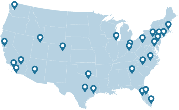
NATIONWIDE
As featured on ABC's Shark Tank, we are the nation's leading drone training company with an extensive network of alumni and partners throughout the country.
MATERIAL
Created and refined by UAS training experts, our curriculum is the best in the industry and has been tried and tested by clients in dozens of industries.
TRAINED
With a community of over 65,000 drone enthusiasts across the US and internationally, DARTdrones is at the forefront of UAS technology.
Expert Instructors
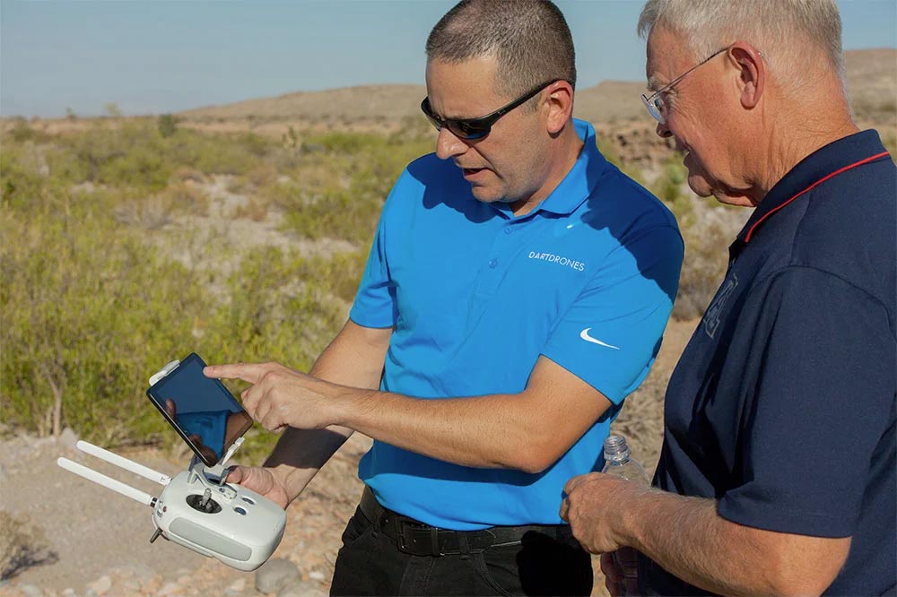
Our students absolutely love our instructors! Our classes are engaging, fun, and extremely informative.
Advanced Training Courses
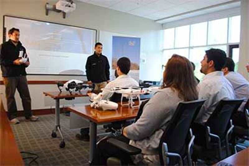
We don’t just train our students on the basics. We have extensive advanced training courses to help our alumni succeed in mapping, inspections, disaster response, aerial photography, night operations, and search and rescue.
Industry Certified and Vetted Curriculum
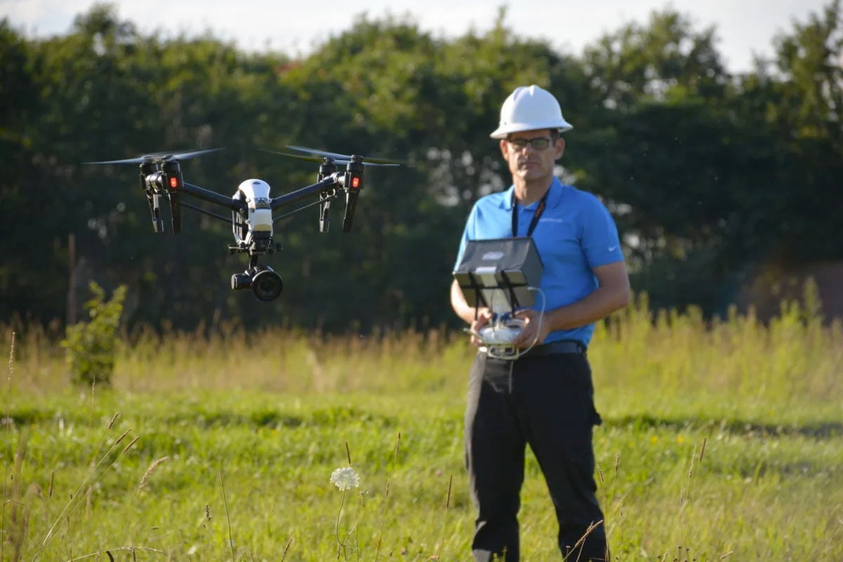
Our curriculum has been vetted and certified by AUVSI, the leading UAS industry association, to ensure professional quality.

Start your Program Today!

