Drone Cameras and Payloads
 By Abby Speicher
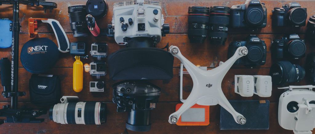
 The most common camera payloads utilized on drones are standard digital visual, also known as electro-optical (EO), cameras. When selecting a camera payload, it is important to consider all of the desired capabilities and intended use cases. Cameras used to capture images for photogrammetric processing, or of areas of interest that will need to be enhanced after capture to analyze small details for inspection purposes, will require higher resolutions than cameras used to capture larger, landscape scale images for general area imaging or media purposes.
Visual Cameras for Drones
The most common camera payloads utilized on drones are standard digital visual, also known as electro-optical (EO), cameras. When selecting a camera payload, it is important to consider all of the desired capabilities and intended use cases. Cameras used to capture images for photogrammetric processing, or of areas of interest that will need to be enhanced after capture to analyze small details for inspection purposes, will require higher resolutions than cameras used to capture larger, landscape scale images for general area imaging or media purposes.
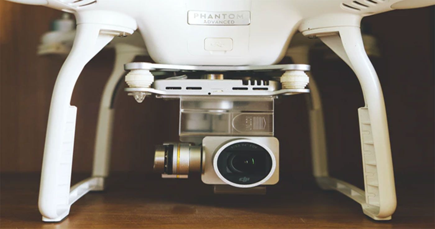
Most EO cameras designed specifically for use with drones will include both still image and video capture capabilities. The standard resolution for drone specific EO cameras used for professional purposes is 4K; however, lower resolutions can typically be selected in the camera settings menu. Photograph resolution is largely dependant upon sensor size and very small drone models (less than 5 lbs) have significant restrictions in the amount of weight they can carry, meaning camera bodies will be limited in size. That being said, even smaller drones can be equipped with EO cameras capable of capturing images at up to 20MP with 1” sensors.
Visual Cameras for Drones with Zoom Capabilities
Adding zoom to a standard EO camera gives the drone operator a much higher level of versatility in many types of operations. For example, a technician using a drone to inspect powerline components can now remain at a very safe distance from a hazardous environment while still capturing the detailed images necessary to complete their assignment. A news cameraman operating a drone to capture footage of a developing incident can use a zoom capable camera to collect detailed footage while maintaining their drone at a distance that does not interfere with other drones being used by law enforcement or first responders.
Thermal and Multispectral Drone Sensors
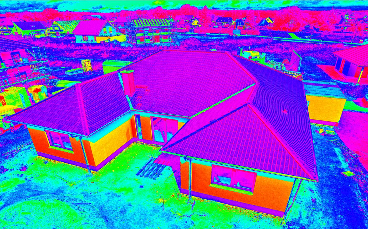
It is very common for organizations to require data or information that can only be obtained using camera sensors capable of seeing light or energy not detectable by the human eye. Thermographic inspections using thermal imaging cameras can now be conducted via drones, allowing technicians to examine larger areas in shorter periods of time. Agricultural users can utilize multispectral sensors to gain insight into plant health. Mining companies have seen great successes in the use of hyperspectral sensors for aerial materials analysis. Once you know the exact information that will benefit your organization’s departments, you can begin to investigate the possibility of collecting that data via a drone.
LiDAR for Drones
Aerial mapping and structural modeling can be conducted with drones using both photogrammetry as well as LiDAR point cloud generation. LiDAR units capable of delivering the required point cloud densities when a drone is flying at altitude are relatively large are require larger aircraft systems. They are also much more expensive than other sensor types, but are capable of producing extremely accurate terrain and structural models for survey and inspection purposes.
Non-Imaging Payloads
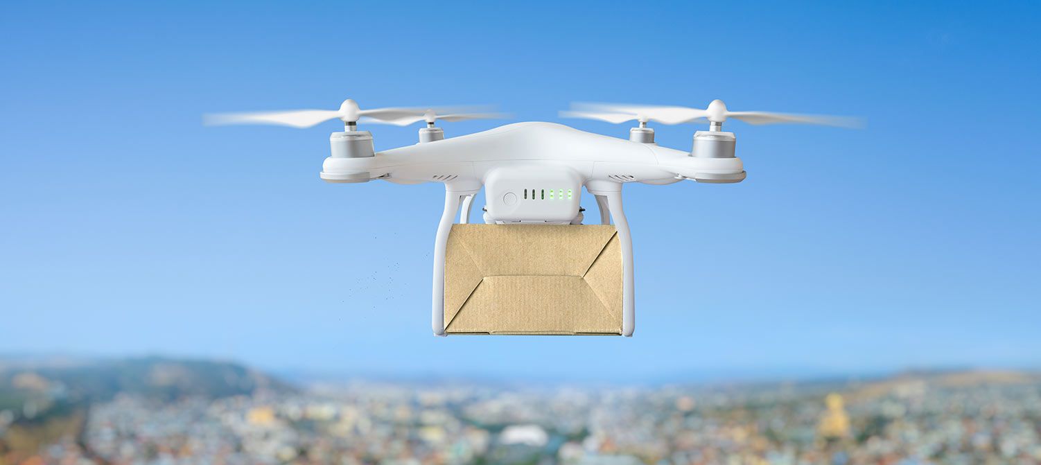
In addition to collecting visual or other imaging data of an area of interest, drones can also be equipped with other equipment useful for professional applications. For example, many drones can be equipped with systems that allow them to carry and drop small payloads, such as survival equipment when used by search and rescue teams, or materials sampling devices used to collect samples for testing from hard to reach or potentially dangerous areas while keeping the human operator at a safe distance.
About the Author

WHY DARTDRONES? We have a proven track record for training pilots in dozens of industries.
INSTRUCTORS
Our instructors have manned aviation experience flying airplanes and helicopters and have gained the highest drone piloting recognitions in the industry. Many own successful UAS businesses themselves.
NATIONWIDE
As featured on ABC's Shark Tank, we are the nation's leading drone training company with an extensive network of alumni and partners throughout the country.
MATERIAL
Created and refined by UAS training experts, our curriculum is the best in the industry and has been tried and tested by clients in dozens of industries.
TRAINED
With a community of over 65,000 drone enthusiasts across the US and internationally, DARTdrones is at the forefront of UAS technology.
Expert Instructors
Our students absolutely love our instructors! Our classes are engaging, fun, and extremely informative.
Advanced Training Courses
We don’t just train our students on the basics. We have extensive advanced training courses to help our alumni succeed in mapping, inspections, disaster response, aerial photography, night operations, and search and rescue.
Industry Certified and Vetted Curriculum
Our curriculum has been vetted and certified by AUVSI, the leading UAS industry association, to ensure professional quality.

Learn More Today!